If you’re just getting started in bass fishing or any type of fishing, new bodies of water can seem like vast oceans and knowing where to start can be a daunting task. Even if you’re a seasoned veteran on a certain fishery, trust us and the other successful pro anglers when we say there is something to be learned every year on your favorite fishery.
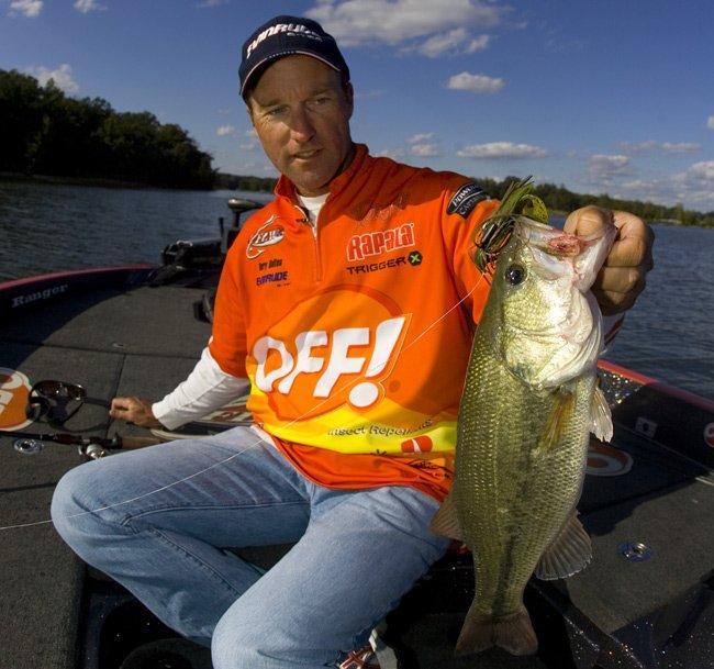
We caught up with Terry Bolton and talked with him about how he looks at each lake before he gets there, specifically his map study before each trip and then how he applies that pre-trip map study to his search for bass on the water. His tips will certainly help anglers of all skill sets break down water quickly and efficiently and make the most of the limited time we all have to fish.
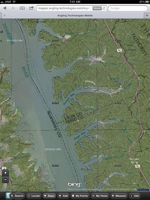
“I still use paper maps all the time,” said Bolton, a long time offshore angler on the highly pressured waters of the Tennessee River. “Even when I fish at home (Kentucky Lake), I carry a full set of lake maps, topo maps, navigational charts and more. I want to be able to find something off the beaten path or something maybe not marked on today’s advanced GPS chips.”
Bolton starts each tournament long before he gets to the tournament, looking at maps, getting online and using resources online to look at major sections of the lake. Tools like Google Maps can give you a birds-eye view of the lake before you ever get close to the water. You can figure out which creeks have flatter banks, steeper points, docks, timber and more with these online tools.
But the search begins for Bolton by examining three characteristics and then formulating his map study plan based on those. The three things to consider before an angler starts map study are season, type of fishery, and weather influences.
The season can be easy to think you know but as you move from one part of the country to fish in another, it gets a lot trickier.
“I’ve studied maps and gone to fisheries thinking it was fall, and then I show up and start fishing and find out the fish are still in a late summer pattern and I have to scrap a lot of what I found on the map,” Bolton said. “So you have to remain flexible even though you think you have a good plan going in. The seasonal patterns can have you pulling the maps back out and changing your plan on the fly.”
Knowing the season of the fishery provides anglers broad ideas of places to start searching for bass but that’s only if you take into account the type of fishery you are on. Fisheries differ by types – highland reservoir, river or natural lake. But it can be more specific than that even like tidal river, lowland rivers or river impoundment. It can also be specific by location. Tennessee River impoundments will fish a lot different than Arkansas River impoundments or Rio Grande impoundments.
Analyzing the season and type of fishery and relying on years of experience can help get you looking at the right areas on your map. As seasons change, anglers have to follow the bass to their proven feeding areas. But weather influences can change the seasonal and fishery approach, namely precipitation.
When the monsoons come, the effective fishing can change sometimes overnight and often in just a matter of days. Likewise, cold fronts, can move the bass back to previous locations until the weather stabilizes. But the influences of the weather changes must be accounted for when looking at new fisheries or even fisheries anglers feel very comfortable fishing. Flooded areas can put bass where they normally won’t go, and cold fronts can move bass out of areas they were in last week.
After considering season, fishery type and weather patterns, then it’s time to sit down with your maps and start dissecting the fishery. Bolton breaks up his map study broadly by season, which he divides into six seasons because bass have very predictable migrations in the spring. His six seasonal breakouts include winter, prespawn, spawn, post spawn, summer and winter.
Start general
The following generalizations are how Bolton starts each season’s map study:
Winter – “I start looking for creek channel junctions and more vertical structure. I will also look for the last deep water in the backs of creeks or the last defined channel swings in those major bays and creek arms. Creeks, especially where they split in those major bays can be really key in the winter doldrums.”
Prespawn – “I look for those channel swings and more 45-degree banks. I also start looking for north banks, points and pockets that are protected from cold north winds and get a lot of warm south winds and maximum sun exposure on them. I will look for bays and creek arms that offer me a lot of options in those protected north banks.”
Spawn – “I want to find those small north shore pockets toward the main lake and the mouths of big bays first. Then as spawn progresses, I keep working back to the backs of the big bays for more spawning flats, flatter pockets with cover and more areas conducive to sun, current and wind protection.”
Post spawn – “I look for those long structures that connect to the actual banks in the bays and creek arms. Flatter points, long bars in the mouth of the bays that extend way out and give the fish a place to move from shallow to deep as they progress into the summer and rising water temperatures.”
Summer – “I look for main-lake structure not connected to the land. Things like main lake humps, river ledges, creek intersections and more. As summer progresses and gets into late July or August, fish will move shallower for better oxygen content. They won’t be on predictable corners and points like they were in early summer. The fish start to relate more to isolated cover and less to the contours of the structure.”
Fall – “I’m always looking for flats this time of year. Flat pockets, big flats in the mouth of bays, long flat points again. Places where fish can forage and move in and out to feed on the congregating schools of bait.”
Managing the mass
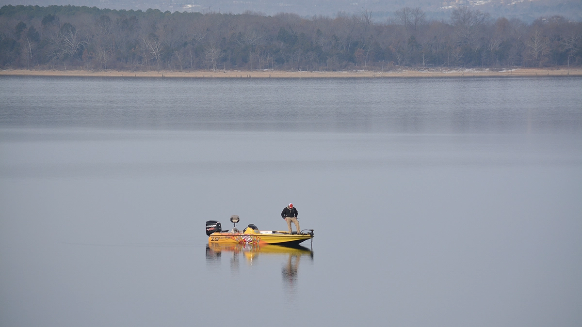
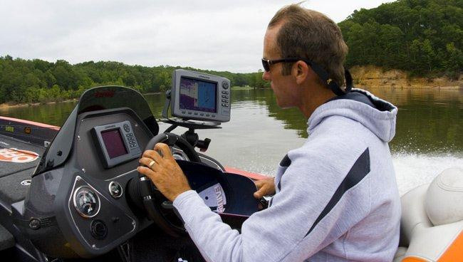
Bolton will study the map and try to break the lake down into manageable sections.
“When we practice for a tournament, we only have three days to break it all down and find enough fish to last for four days of fishing,” he said. “You can’t physically see everything in that amount of time, so a map is invaluable in finding good areas ahead of time that you can focus on dissecting in practice.
“Now I’ve had plans get thrown out in the first half a day in practice. So you have to still be flexible. I carry my maps with me. If I scrap a pattern, I might just start fishing around on what looks good until I catch a good fish or two. Then I pull my maps back out and find more places that look like what is working in practice.”
Bolton stressed the importance of fishing and not living and dying by your map study. A map is a tool that can get you in the right area, but fishing the areas is the only way to know if what you found on the map is worth it. So you have to be open minded and fish the conditions, what looks good and feels right based on your experiences on the water.
If you’re just starting out, don’t try to fish 25 miles of offshore structure. Pick a 4 or 5 mile stretch or area and stay there all day, marking and study your map, graphing with your electronics, trying multiple patterns and baits. There is no shortcut to the actual fishing and finding them. But the maps can cut out a lot of the guesswork.
“I tell guys in seminars all the time to by 5 or 6 marker buoys,” Bolton said. “Then as you follow along on your map or GPS and mark stuff, throw your buoys out and get good line ups on everything. It takes practice to learn to throw the buoy away from where you want to fish but keep a good line up. You’re not going to find a super spot just looking at a map. You’ve got to spend time graphing, fishing, lining it up and figuring out how it lays.”
Bolton also cautioned that not all maps are good on every fishery. That’s why he tries to get several maps, or uses several online services to get as many different views of a fishery. He also keeps all his old chips. Sometimes those chips change over years. Sometimes a more broad picture of the contours is better for finding areas than really detailed contours. He found some of his best stuff just looking at the general flow of a river and then idiling around on key areas to look for off the beaten path spots that fish might use because of pressure, current changes, etc.
“I’m old school, so I’m a big proponent of map study,” Bolton said. “I was joking with some college anglers recently about how hard a time they would have trying to find spots with a map and triangulating with trees on a bank now that they’ve come up fishing with all the modern electronics, GPS, side scan, map chips, etc. Take all that away and a bunch of folks could never get back on the fish.”
Keep notes of what you find that was right and wrong about your fishing and the map study. Keeping track of what you find that works and doesn’t work will help you establish tendencies and seasonal locations of the fish. It”s not enough to know where a good spot is. You have to know when it’s a good spot and where the next closest spot might be if the fish get pressured away from it or other spots like it for when that spot doesn’t produce.
Good studying!


